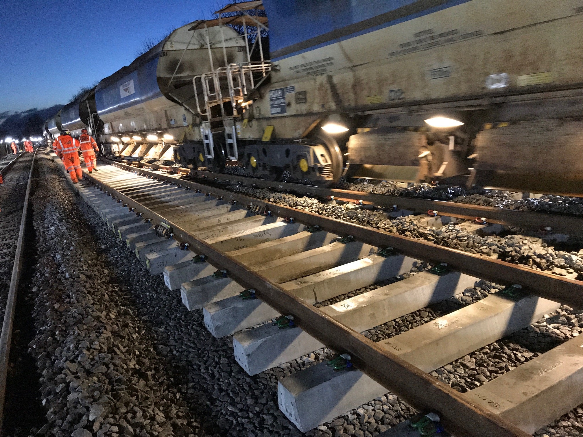
The exploratory project focused on three specific hazard classes: ground deformation, vegetation fall-in, and flooding. By fusing radar and optical satellite imagery with short-range weather forecasts, the prototype generates location-specific risk assessments. The system operates on a two-part framework, combining a baseline analysis of 3-year historical data with real-time meteorological inputs such as wind gusts and cumulative rainfall.
Operational teams on the Wessex Route, which serves as a major commuter artery for south-west London, tested the prototype via an interactive dashboard. The interface uses a traffic-light classification system to alert staff to segments of track requiring attention. Early feedback suggests the satellite-derived insights align with existing knowledge of high-risk areas, particularly regarding tree fall hazards.
Currently, vegetation assessments on the network occur on a three-year cycle. Integrating satellite monitoring could transition these inspections to a more frequent, evidence-based model. Thomas Desmond, Operations Director at Network Rail, noted that the technology serves as a complementary tool for infrastructure management, potentially reducing avoidable service disruptions. CATALYST CEO June McAlarey added that the solution provides a clearer picture of how risks evolve on a daily basis, rather than relying solely on static, long-term projections. Future iterations of the pilot may incorporate additional hazard variables, including wildfire risks and autumn leaf-fall adhesion, as Network Rail seeks to bolster climate resilience across its infrastructure.



Comments (0)
No comments yet. Be the first!