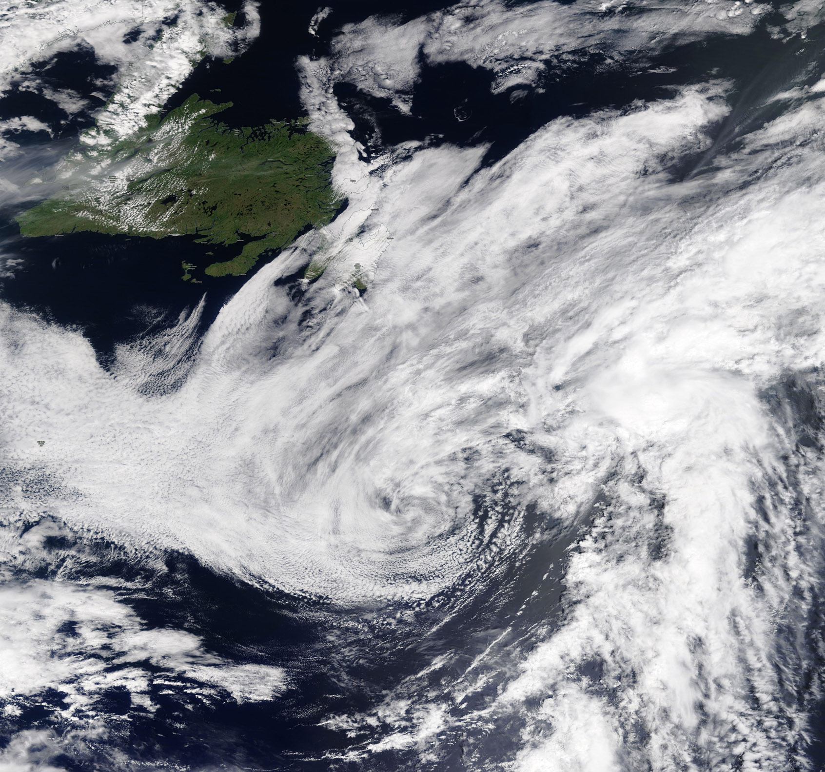
Positioned 30 miles south of Cameron, Louisiana, and 50 miles southeast of Port Arthur, Texas, the storm is currently tracking northwest at 8 mph. Forecasters have issued a storm surge warning for the stretch between High Island, Texas, and the Vermilion/Cameron Parish line, where surges of 3 to 5 feet are expected. A secondary surge of 1 to 3 feet is projected for areas extending toward Morgan City, Louisiana.
Rainfall remains a primary concern for the upper Texas Coast and east-central Texas, with estimates ranging from 3 to 6 inches and localized maximums hitting 9 inches. While the system threatens to bring tropical storm force winds up to 25 miles from its center, the National Hurricane Center expects rapid dissipation once the core moves inland. Despite the approaching weather, energy markets remain stable; as of Tuesday morning, there have been no confirmed refinery closures or operational rampdowns reported in the Gulf Coast region.



Comments (0)
No comments yet. Be the first!