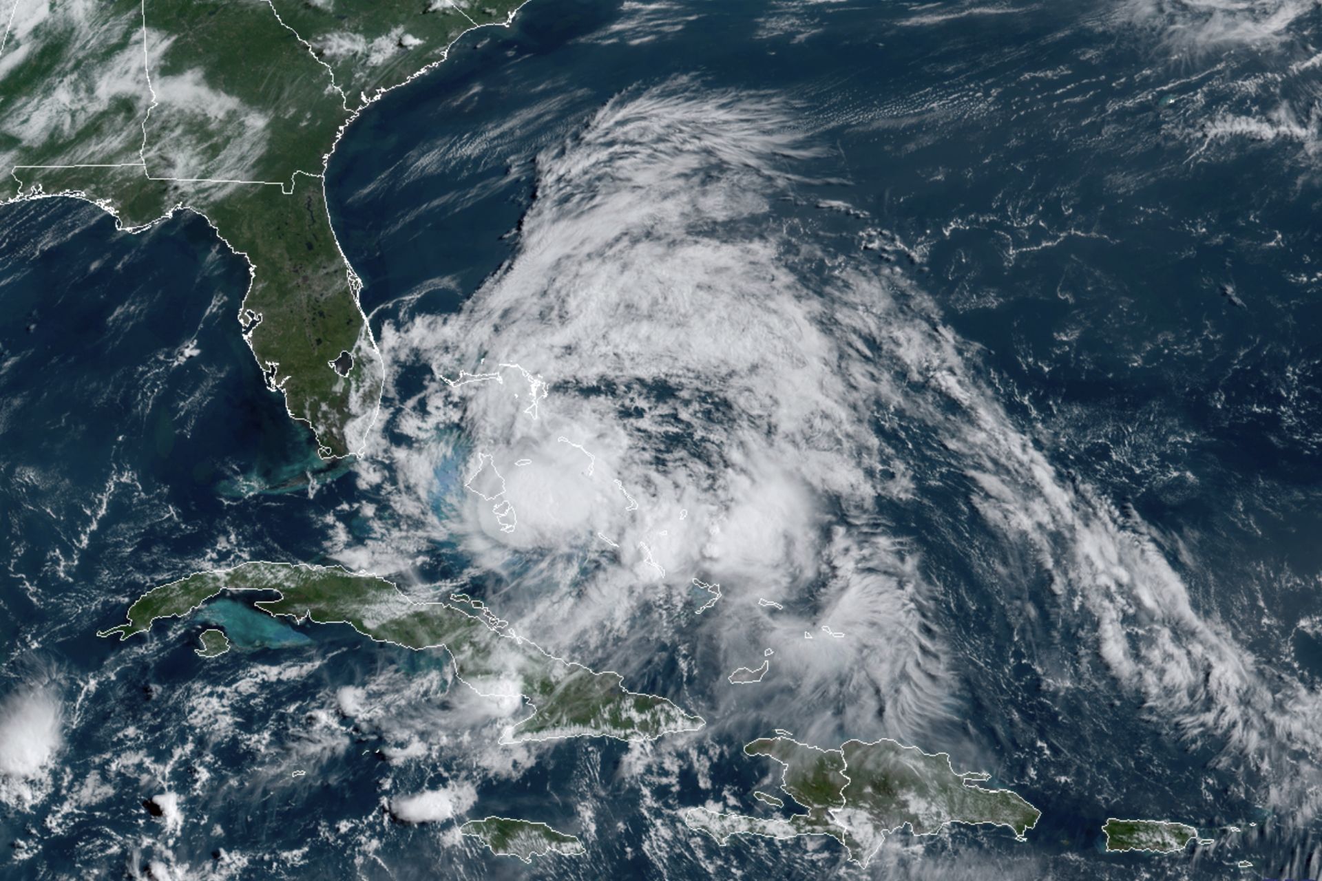
Energy producers across the Gulf of Mexico have preemptively curtailed oil operations and evacuated offshore platforms as the storm intensifies. Forecasters expect the hurricane to gain strength before hitting land, carrying a dangerous combination of destructive wind and water. The NHC projects the most severe surge impacts between the Mississippi River and Suwannee, Florida, while high-velocity winds threaten the Florida Panhandle, southern Alabama, and southern Mississippi.
Satellite imagery confirms the development of a distinct eye, a milestone marking the first such formation in the Atlantic basin during the current season. Hurricane-force winds currently reach 15 miles from the center, with tropical-force gusts extending up to 125 miles. Residents in the projected path face an urgent window to finalize emergency preparations ahead of the late Friday landfall.




Comments (0)
No comments yet. Be the first!