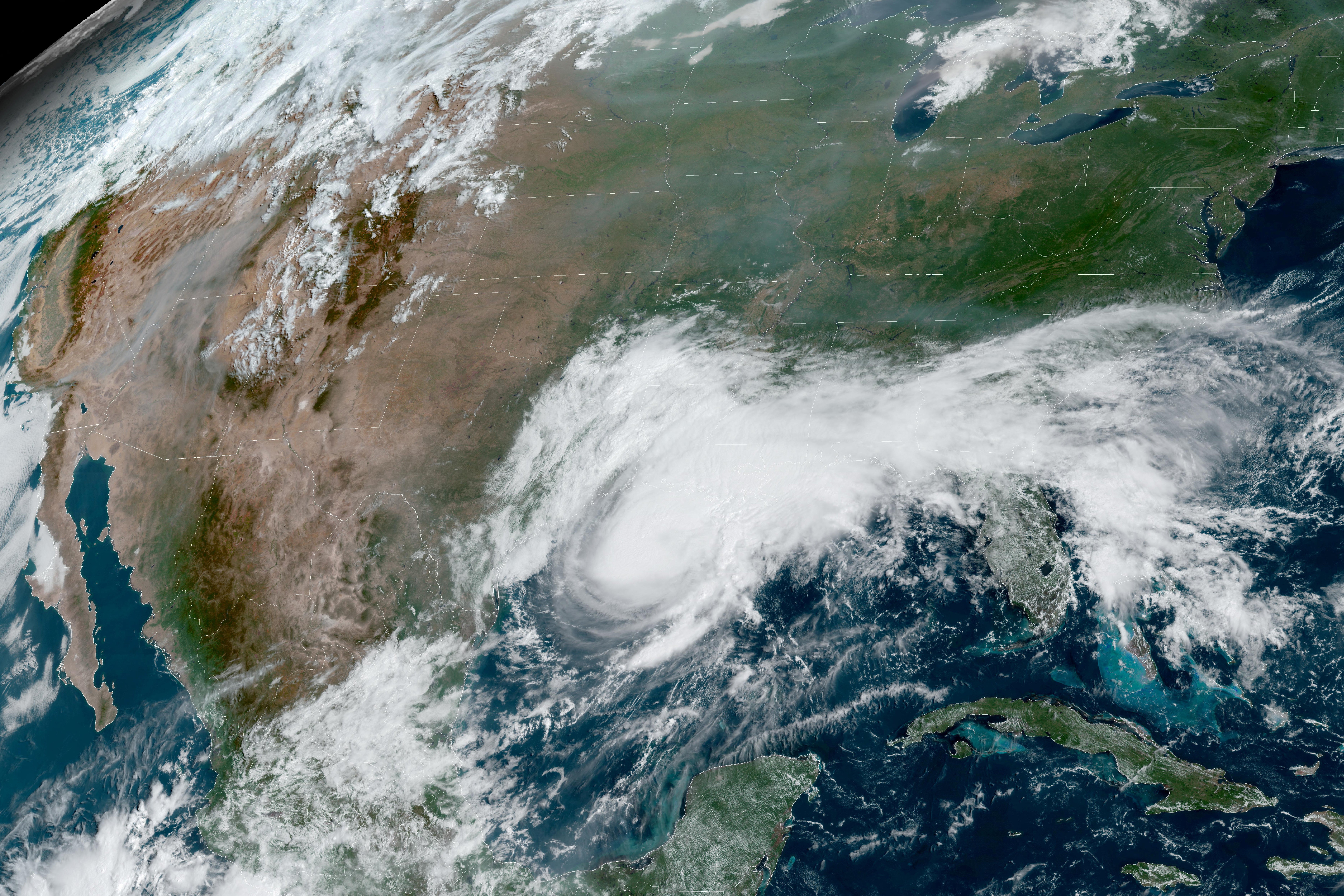
The storm is currently moving east-northeast, though forecasters expect a sharp turn toward the north by Friday. Tropical-force winds already extend 45 miles from the center, with the Yucatan Peninsula bracing for gusty conditions. Rainfall totals are projected to reach 4 to 6 inches across the northern Gulf Coast, with localized flooding potentially dumping up to 10 inches from southeastern Louisiana to the Florida Panhandle.
Energy infrastructure faces significant exposure as the storm gains intensity. Chevron’s Pascagoula, Mississippi, facility currently sits directly within the projected impact cone. Other major refineries, including Marathon’s Garyville plant, Shell’s Norco site, and Valero’s Meraux facility in Louisiana, remain on the western edge of the track. Operators are monitoring the path closely as the system prepares to transition into a hurricane.



Comments (0)
No comments yet. Be the first!